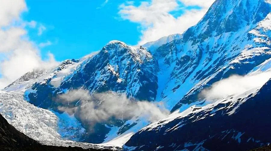
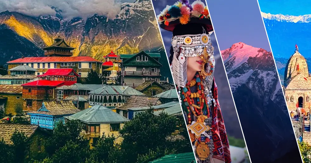
Nilkantha Peak, Uttarakhand
Towering over the valley where the Alaknanda River flows, Nilkantha is indeed an important peak in Garhwal Himalayas. Standing tall at an elevation of 6597 m, it is one of the most accessible peaks in the Himalayas, and one of the prettiest as well. Nilkantha is an isolated peak that specially allures the climbers to attempt the summit bid.
The mountain has modest altitude and formidable defenses and ridges that are long, pinnacled, and loose. The faces are steep and mostly avalanche prone and due to their isolated position, a local weather system can be found here.
Nilkantha has four main ridges and four main faces with the east face being quite dangerous, and the north side being an excellent face to attempt a climb. The south side has two ridges and the lower one itself is complex to climb with loose rocks and ice. However, the west side of the south face is bounded by a rock ridge that runs to the summit of the mountain.
Climbing & Adventure Appeal
Nilkantha is among the most accessible yet technically demanding peaks for mountaineers in the region. Despite its moderate height, climbers face unpredictable weather and steep icy walls.
- The east face is dangerous due to frequent avalanches.
- The north face offers a solid and scenic route, often used for ascent.
- The south side features complex ridges with loose rocks and ice patches.
- The west ridge extends to the summit and is often used for descent.
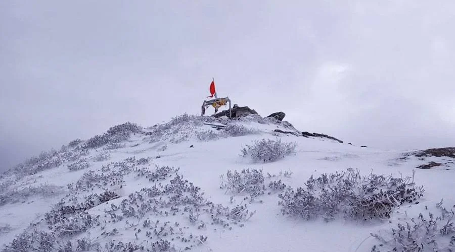
The first successful ascent of Nilkantha was achieved in 1961 by a team from the Indian Mountaineering Foundation (IMF). Since then, it has been a dream climb for seasoned Himalayan adventurers.
Spiritual and Mythological Significance
The name Nilkantha literally means “the blue-throated one”, a title of Lord Shiva. According to Hindu mythology, after consuming the poison Halahala during the Samudra Manthan (Churning of the Ocean), Lord Shiva’s throat turned blue, hence the name Nilkantha.
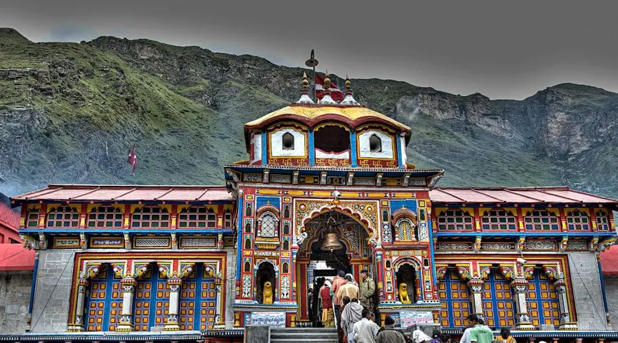
Because of its proximity to Badrinath Temple, pilgrims often revere the mountain as a divine guardian of the region, symbolizing the eternal presence of Shiva in the Himalayas.
How to Reach Nilkantha Peak
Nearest Town: Badrinath (3 km from Nilkantha Base)
- By Air: The nearest airport is Jolly Grant Airport, Dehradun (317 km).
- By Train: Rishikesh Railway Station (around 300 km away) is the closest railhead.
- By Road: Badrinath is well connected by motorable roads from Joshimath, Haridwar, Rishikesh, and Dehradun. From Badrinath, trekkers can access the Nilkantha Base Camp through guided routes.
Nearby Attractions
| Attraction | Approx. Distance | Highlights |
|---|---|---|
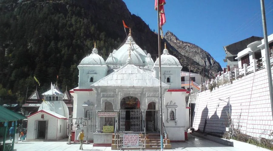
| Badrinath Temple | 3 km | Sacred Char Dham pilgrimage site |
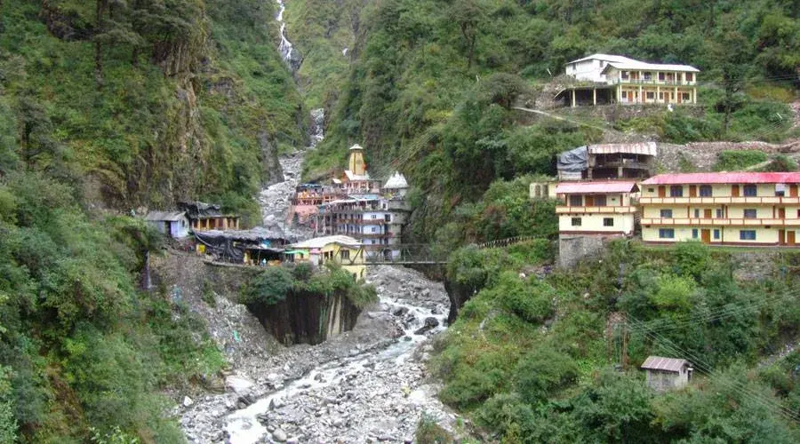
| Mana Village | 5 km | India’s last village near the Indo-Tibet border |
| Vasudhara Falls | 8 km | Scenic high-altitude waterfall |
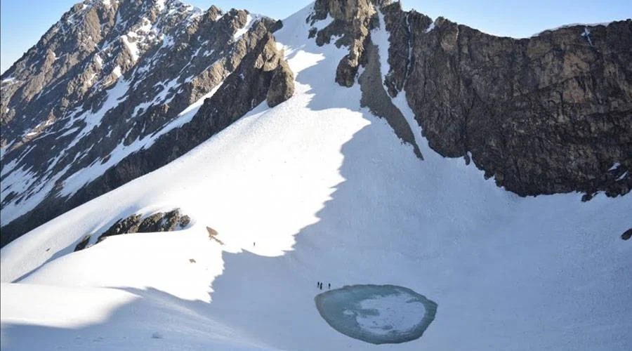
| Satopanth Lake | 18 km | Glacial lake with mythological importance |
(Distances are approximate from the Badrinath base region.)
Travel Tips
- Due to unpredictable weather, always check IMD forecasts before trekking.
- Carry warm clothing, waterproof gear, and essential medicines.
- For expeditions, obtain permits from the Uttarakhand Tourism Department or IMF.
- Guided tours and professional mountaineering support are strongly advised.
Nilkantha Peak is not just a mountain – it is a divine symbol of serenity, adventure, and spiritual connection. Whether you visit Badrinath to seek blessings or gaze upon its glittering snow-covered face at sunrise, Nilkantha leaves every traveler awestruck with its blend of natural majesty and divine aura.