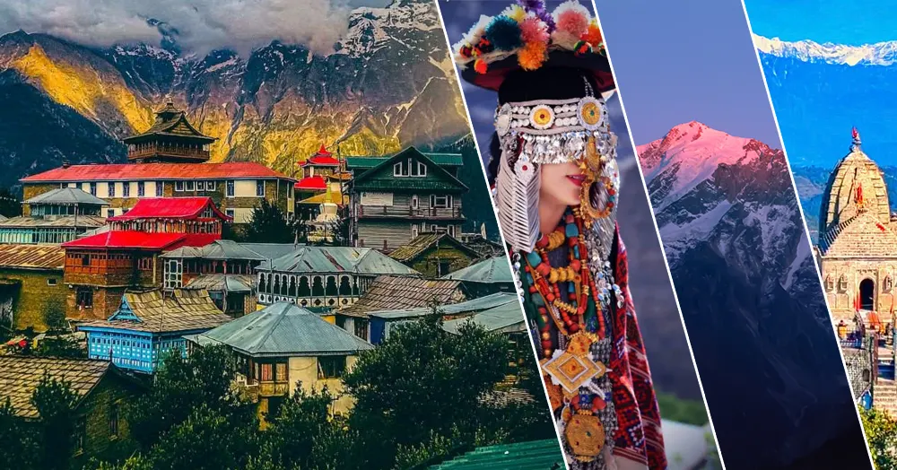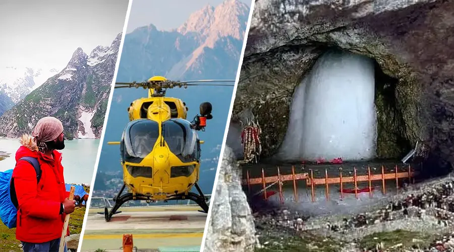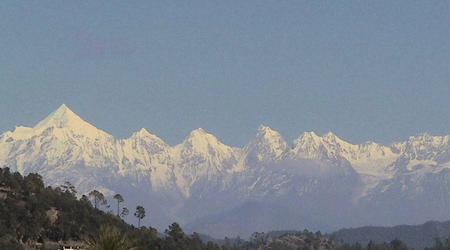
Panchachuli, Uttarakhand
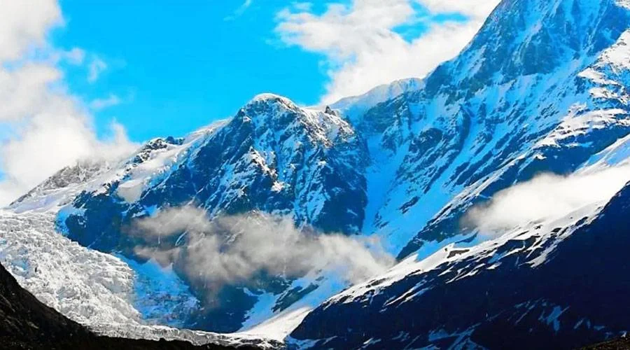
Panchachuli is a group of five Himalayan peaks. They lie in the eastern Kumaon region. This peak was named after five Chulis of Pandavas. The height of these ranges is 6334-6904 mt. Months of April, May, September, and October are best for mountaineers and tourists. Panchachuli 2 is the highest peak of all the five peaks. The beauty of the peak is increased by the presence of deodar trees.
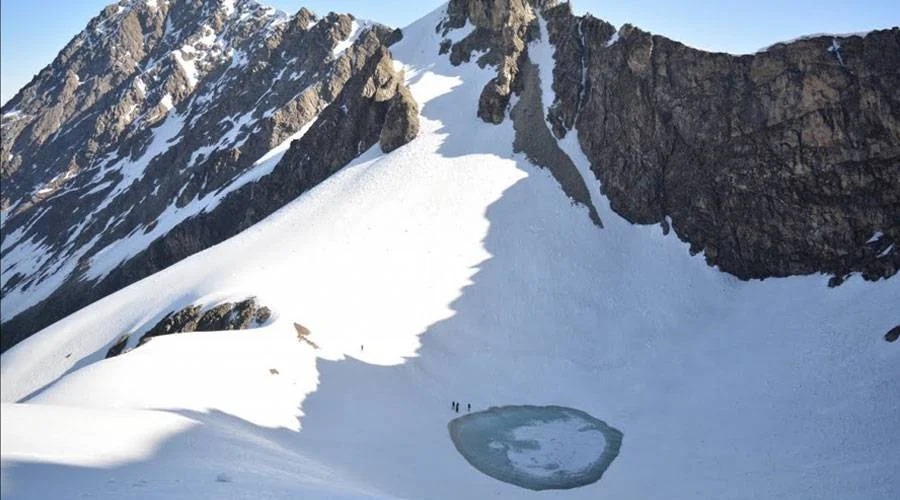
Starting from Almora, the trekking trail passes through Dharchula, Tawaghat, Sobla, Dhar, Sela, Balling, and Duktu, and then finally concludes at Panchachuli. During the journey, trekkers will come across gorgeous Darma Valley, which offers a splendid view of the Panchachuli peaks. The trail from Duktu to Panchachuli glacier is hard to follow. However, determination and strategy can help to overcome these difficulties.
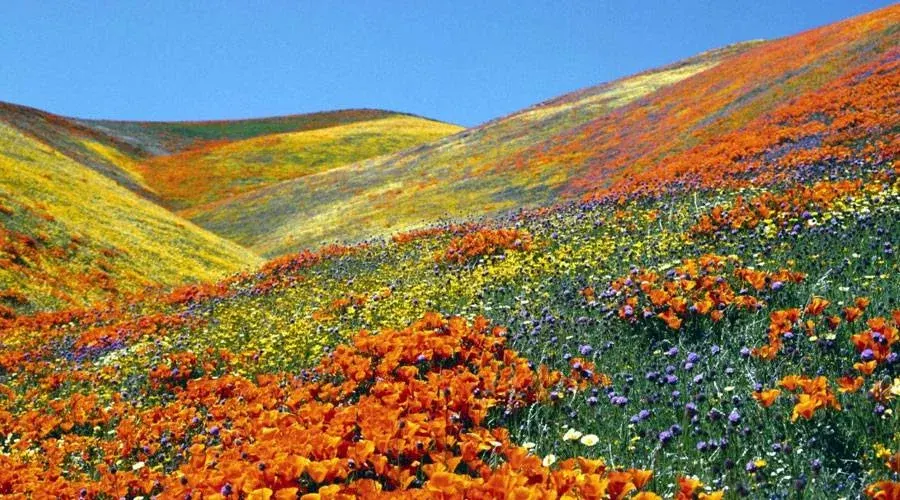
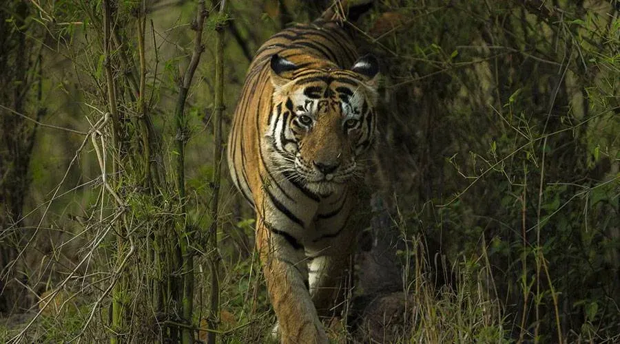
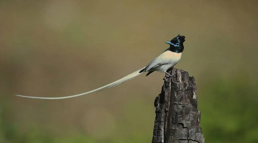
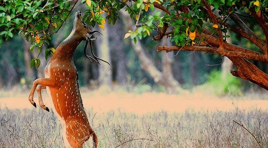
The route that heads to the Panchachuli glacier traverses through enthralling scenery with snow-capped mountains gushing streams, alpine meadows, and rich flora and fauna. The trail also goes through several tribal villages like Bongling, Sela, Nagling, Baaling, and Duktu and cuts and runs through Dhauliganga and thick forests of deodar and Bhojpatra and conifer.
Trekking Route and Highlights
The trekking trail is both challenging and rewarding:
Almora --- Dharchula --- Tawaghat --- Sobla --- Dhar --- Sela --- Balling --- Duktu --- Panchachuli Glacier
Along the way, trekkers can witness:
- Darma Valley with panoramic views of the Panchachuli peaks
- Alpine meadows with seasonal wildflowers
- Dense forests of deodar, Bhojpatra, and conifer trees
- Tribal villages such as Bongling, Sela, Nagling, Baaling, and Duktu, offering cultural insights
Nearby Attractions
| Attraction | Distance | Highlights |
|---|---|---|
| Dharchula | 0 km | Base town for starting the Panchachuli trek |
| Tawaghat | 15 km | Scenic hamlet with riverside views |
| Darma Valley | 40 km | Picturesque valley with lush forests |
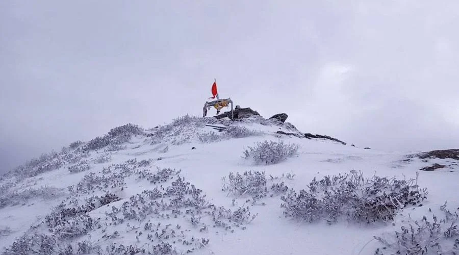
| Panchachuli Glacier | Trek end | Snow-capped glacier and panoramic peak views |
Features of Panchachuli Peaks
- Group of five peaks in eastern Kumaon, Uttarakhand
- Height range: 6,334–6,904 m; Panchachuli II is the tallest
- Best months to visit: April, May, September, October
- Ideal for trekking, mountaineering, and nature photography
- Rich biodiversity: deodar forests, alpine meadows, and flowing streams
- Cultural experience through tribal villages along the trekking route
Quick Facts about Panchachuli Peaks
| Feature | Details |
|---|---|
| Location | Eastern Kumaon, Uttarakhand |
| Peak Range | 5 Peaks (Panchachuli I–V) |
| Highest Peak | Panchachuli II – 6,904 m |
| Best Time to Visit | April, May, September, October |
| Trek Starting Point | Almora |
| Key Attractions | Panchachuli Glacier, Darma Valley, Tribal villages |
| Difficulty Level | Moderate to challenging |
| Trek Duration | Approx. 7–10 days (depending on itinerary) |
Panchachuli Peaks offer an unforgettable adventure in the eastern Kumaon Himalayas. From the challenging trekking routes, beautiful Darma Valley, and alpine meadows to rich cultural experiences in tribal villages, this trek provides a complete Himalayan experience. Ideal for trekkers, mountaineers, and nature lovers, Panchachuli is a must-visit for those seeking adventure and serenity in Uttarakhand.