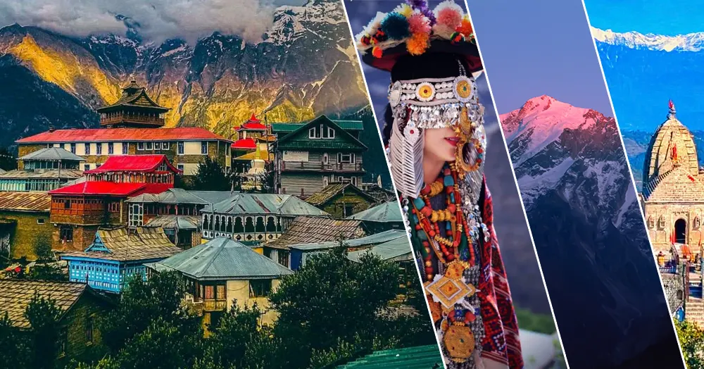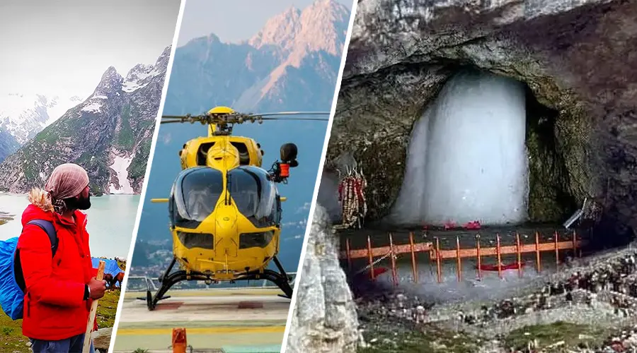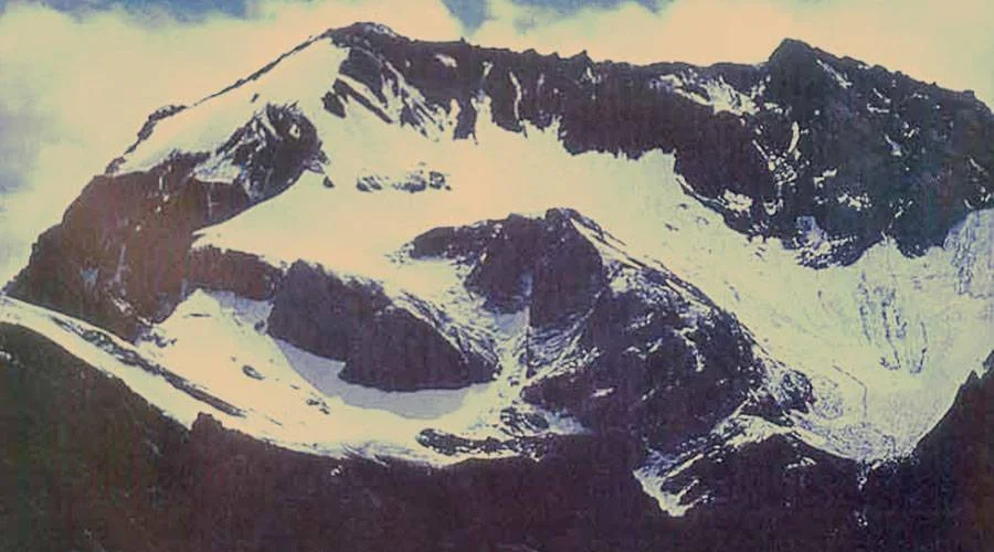
Om Parvat, Uttarakhand
Om Parvat is a rare spiritual marvel of the Himalayas, where nature has blessed the mountain with a perfectly shaped ‘Om’ symbol formed by snow deposits on the dark rock surface. Located in the Kumaon Himalayas of Uttarakhand, this peak is visible during the Adi Kailash & Om Parvat Yatra conducted by Kumaon Mandal Vikas Nigam (KMVN).
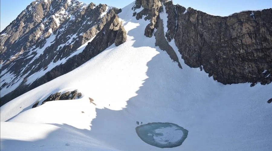
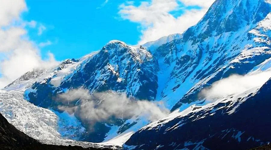
Surrounded by majestic snow peaks, lush valleys, and the Kali River, the journey towards Om Parvat is filled with adventure and devotion. Although reaching its base requires a high-altitude trek and restricted permits, thousands of devotees consider this yatra a once-in-a-lifetime divine privilege. Many believe that Darshan of Om Parvat equals the blessings of Shiva himself.
History & Mythological Significance
Om Parvat has been revered in Hindu scriptures as an embodiment of ॐ, the sacred sound and symbol of the universe. According to legends, Lord Shiva meditated in this Himalayan realm, and the Om symbol manifested naturally by divine grace. The mountain lies close to the ancient pilgrimage route to Kailash Mansarovar, and many sages believed that Om Parvat marks one of the gateways to Kailash Lok.
Local beliefs suggest that only spiritually blessed travelers are destined to witness the Om formation clearly. The nearby village Nabi-Dharchula holds mythological ties with the Pandavas, and the region is spiritually connected to the Rakshastal, Brahma Parvat, Parvati Lake and Adi Kailash. For centuries, saints and pilgrims have traveled through this valley seeking enlightenment, making Om Parvat a symbol of divine energy and cosmic creation.
Location & Trek Route Map
Om Parvat lies close to:
| Particular | Details |
|---|---|
| District | Pithoragarh, Uttarakhand |
| Altitude | ~6,191 meters |
| Closest Base | Dharchula |
| Border | Near India – Nepal – Tibet Tri-junction |
| Permit Needed? | Yes - Inner Line Permit (ILP) |
Nearby Attractions
1. Adi Kailash (Shiv-Parvati Dham): A sacred Himalayan peak resembling Mount Kailash. Devotees visit Parvati Lake and Gauri Kund during the yatra.
2. Parvati Sarovar / Gauri Kund: A serene glacier lake near Adi Kailash, believed to be where Goddess Parvati performed penance.
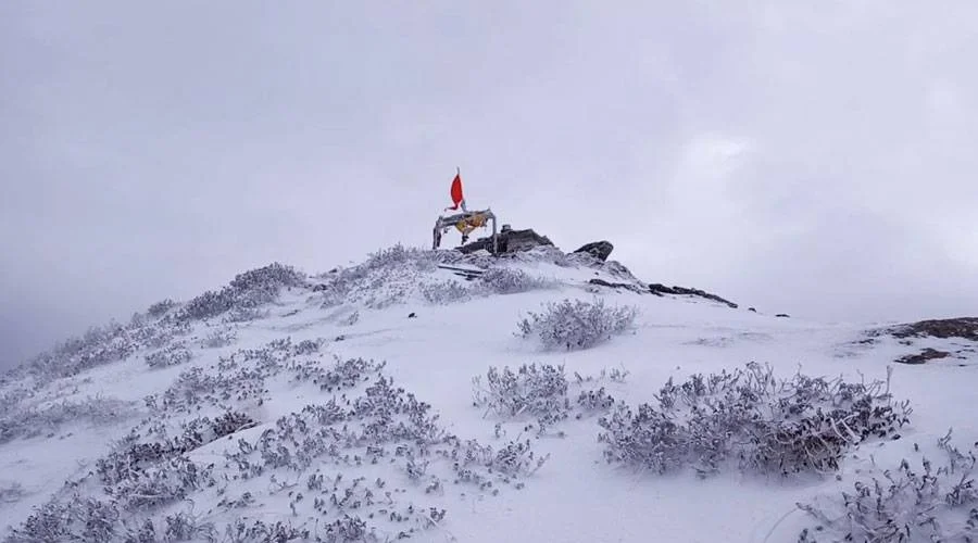
3. Om Parvat Viewpoint (Nabhidhang): The official viewpoint from where the natural Om formation appears clearly.
4. Gunji Village: A high-altitude Himalayan village serving as a key stop for the KMVN Yatra with stunning peaks and rivers.
5. Nabi & Nampa Villages: Beautiful border villages offering close cultural links with the Johar tribe.
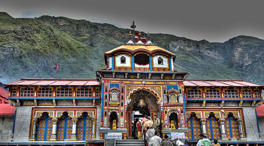
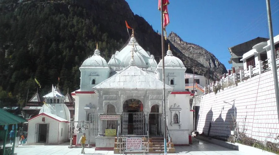
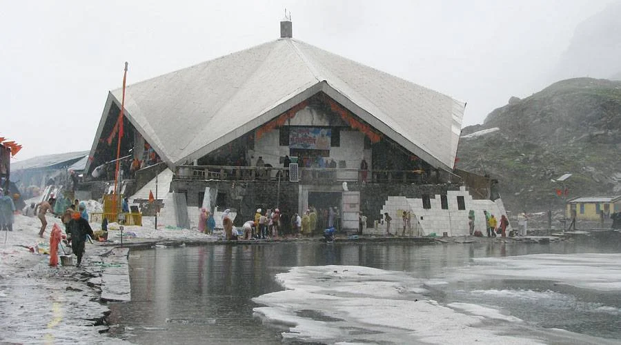
6. Patal Bhuvaneshwar Cave Temple: Ancient limestone cave shrine dedicated to Shiva, a must-visit before/after the yatra.
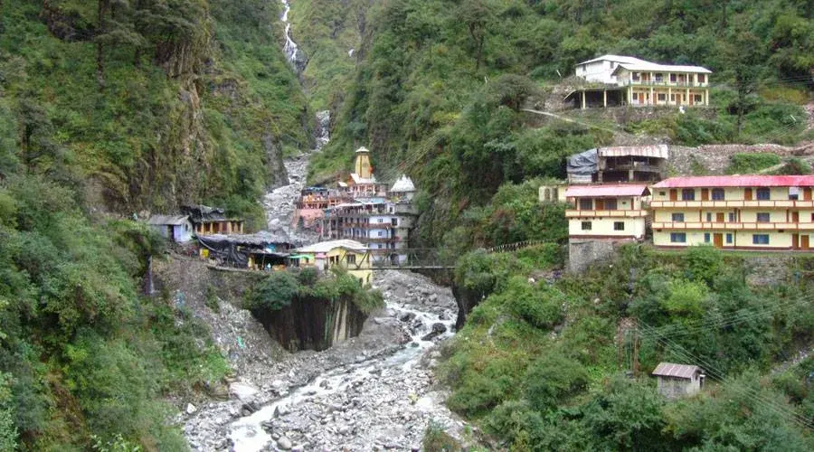
7. Budhi & Chialekh: Picturesque hamlets along the trekking route; famous for scenic valleys and Himalayan wildlife.
8. Kali River Valley: A dramatic, deep gorge forming the natural border with Nepal, ideal for photography.
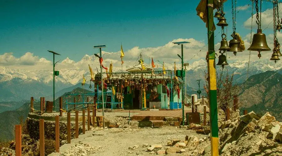
9. Khaliya Top (Pithoragarh): A meadow offering panoramic Himalayan views, great if you stay longer in the region.
Best Time to Visit
| Season | Recommendation | Why |
|---|---|---|
| May – June | Best | Clear weather & KMVN yatra active |
| September – October | Best | Snow visible + stable conditions |
| July – August | Avoid | Landslides & heavy rainfall |
| Winter (Nov–Apr) | Closed | Roads blocked by snow |
Things To Do at Om Parvat
- Spiritual Darshan of natural ॐ formation
- Experience Adi Kailash Yatra pilgrimage
- Trek through remote Himalayan villages
- Photography of Himalayan peaks & Kali River valley
- Visit Nabhidhang & Gunji – high-altitude viewpoints
- Explore Patal Bhuvaneshwar cave temple (nearby)
Permit & Yatra Details
| Requirement | Details |
|---|---|
| Permit Authority | KMVN + Local Administration |
| Documents Needed | Aadhaar/Passport, Medical Fitness, Police Verification |
| Group Travel | Mandatory – minimum group size applies |
| Age Limit | 18–70 years (fitness required) |
| Border Restrictions | Strong due to proximity to Nepal/Tibet |
Where to Stay
- Dharchula – Hotels & KMVN rest houses
- Gunji, Gunji/Nabi – Government camps & limited homestays
(Booking via KMVN or through approved tour operators)
Om Parvat vs Adi Kailash
| Feature | Om Parvat | Adi Kailash |
|---|---|---|
| Altitude | 6,191 m | 6,191 m approx |
| Symbol Seen | ॐ formation on rock face | Natural rock shape resembles Mount Kailash |
| Accessibility | Restricted, border zone | Allowed with a permit |
| Yatra Focus | Darshan from the viewpoint | Trek to base + Parvati Lake |
| Divine Belief | Symbol of Shiva | Home of Shiva & Parvati |
Travel Tips
- Get medical checkups before Yatra (high altitude risk)
- Pack thermals, windproof jackets, trekking boots
- Carry snacks, energy bars, ORS, and essential medicines
- Weather changes are sudden, so keep buffer days
- Respect military/security rules at border zones
Quick Facts – Om Parvat, Uttarakhand
- Location: Pithoragarh district, Kumaon region, Uttarakhand
- Altitude: 6,191 meters
- Famous For: Natural snow formation of the sacred “ॐ” symbol
- Base Camp: Dharchula
- Viewpoint: Nabhidhang (via KMVN Yatra route)
- Yatra Type: Adi Kailash & Om Parvat Yatra (Government-regulated)
- Permit Required: Yes Inner Line Permit (ILP)
- Border Zone: Close to India–Nepal–Tibet tri-junction
- Best Time to Visit: May–June & September–October
- Organizing Authority: Kumaon Mandal Vikas Nigam (KMVN)
- Difficulty Level: Moderate to challenging (high-altitude terrain)
- Nearest Airport: Pantnagar Airport (328 km)
- Nearest Railway Station: Tanakpur (218 km)
- Spiritual Belief: Darshan of Om Parvat is considered equivalent to the blessings of Lord Shiva
- Nearby Major Spots: Adi Kailash, Parvati Lake, Gunji, Nabi Village, Kali River Valley
- Photography Spot: Nabhidhang viewpoint
- Ideal For: Pilgrims, trekkers, spiritual travelers, Himalayan explorers
How to Reach Om Parvat
Reaching Om Parvat requires official KMVN Yatra registration + permits.
By Air
Nearest Airport: Pantnagar Airport (328 km from Dharchula)
From the airport → Taxi to Dharchula
By Train
Nearest Railway Station: Tanakpur (218 km) or Kathgodam (330 km)
From the station → Bus/Taxi to Dharchula
By Road
Dharchula is well-connected:
- Haldwani → Dharchula (280 km)
- Pithoragarh → Dharchula (93 km)
Trek Route (KMVN Yatra)
Dharchula → Lakhanpur → Lamari → Budhi → Gunji → Nabi → Nampa → Om Parvat Viewpoint (Nabhidhang)
(Road + trek; subject to BRO road conditions)
Om Parvat is not just a mountain; it is a celestial message carved by nature. A journey here blends faith, adventure, and pristine Himalayan beauty. If you dream of divine Himalayas and truly spiritual travel, Om Parvat Darshan must be on your bucket list.