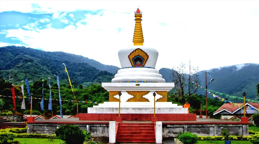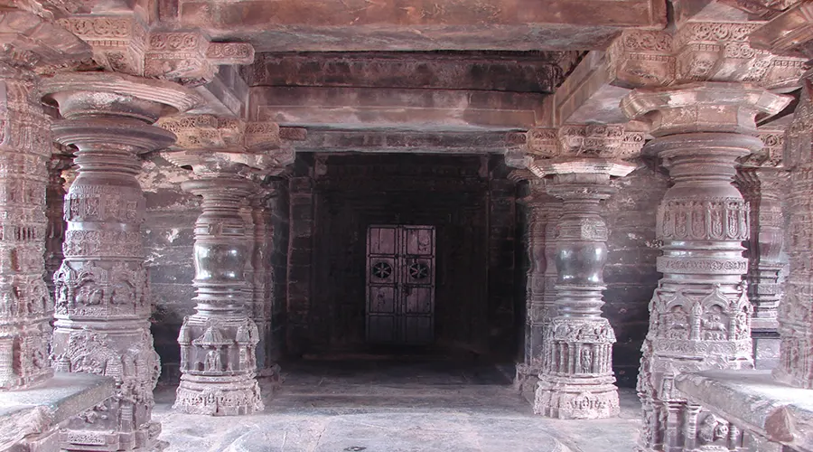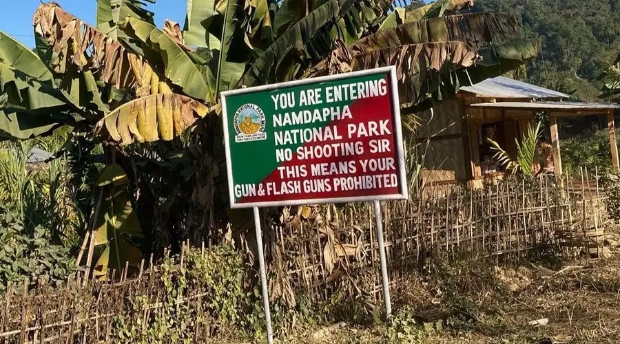
The Bailey Trail
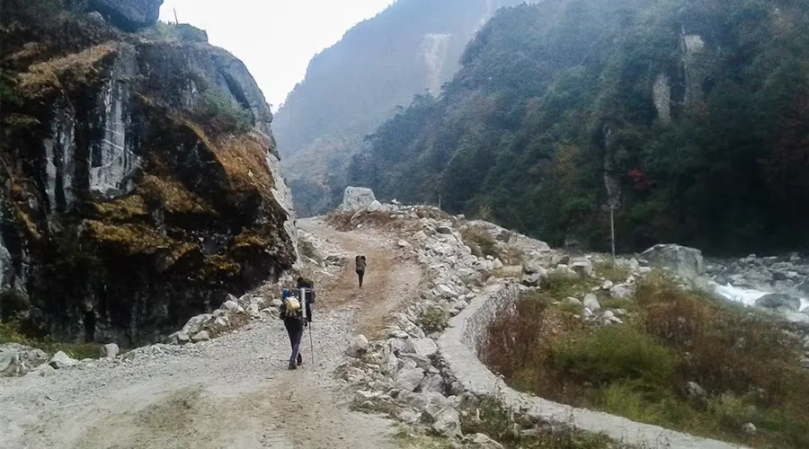
The Bailey Trail trek is stated as one of the moderate levels of the trek. It will take a total of 12 to 22 days to explore the amazing places in the high peaks of the mountains. The Bailey Trail is one of the most popular treks in Arunachal Pradesh. This trek is famous because of its stunning views, and its long routes have many things to explore.
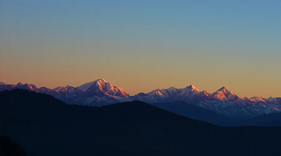
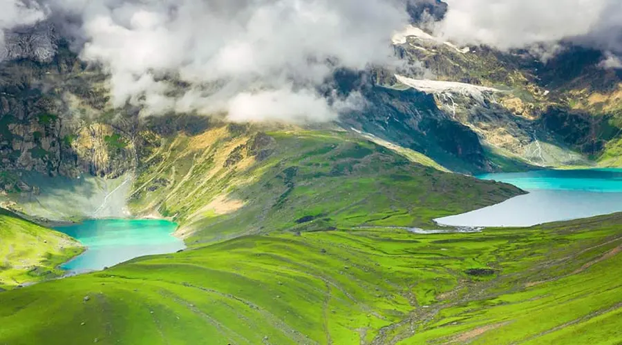
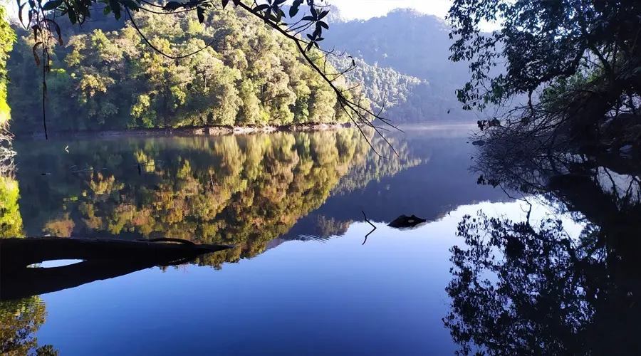
The highest peak in Arunachal Pradesh is located at a height of 16,348 feet. The name of the highest peak on the Bailey Trail is Sela. Although you can see the stunning views of the Himalayas from this point. Near this highest point, you can also a very popular Sela Lake.
What can be a better way to experience Arunachal than exploring the famous and historic Bailey’s Trail? This route was taken by Lt. Col. F. M. Bailey and Capt. H.T. Morshead while mapping and drawing the famous McMohan line in 1914 surveying the Arunachal Tibet border. This was later used by China during the Indo-China War in 1962.
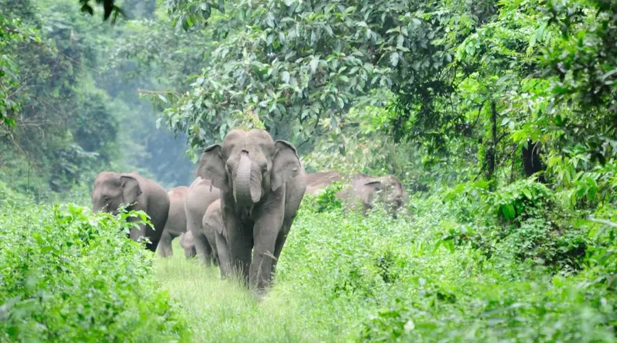
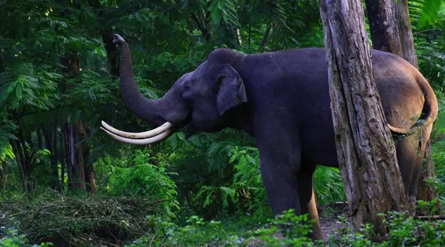
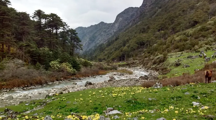
Explore this route in opposite direction from Chander/Lagaam village to Mago through virgin forests of cedar, Pine, oak, rhododendrons, deserted bunkers with glorious views of Mt. Gorichen (6,538 m), Mt. Kangto (7,090 m), Mt. Nyegyi Kangsang (7,047 m) and Mt. Takpa Shiri (6,655 m). An alpine forest full of rhododendrons, 5 high altitude passes, crystal clear water alpine lakes with snow peaks in the backdrop, and you will get snow too in Tchela pass, the highest point of the trek. Depending upon the weather condition, it can be pretty challenging too. It is perfect for adventure lovers and nature is awaiting its full glory.